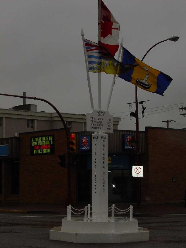
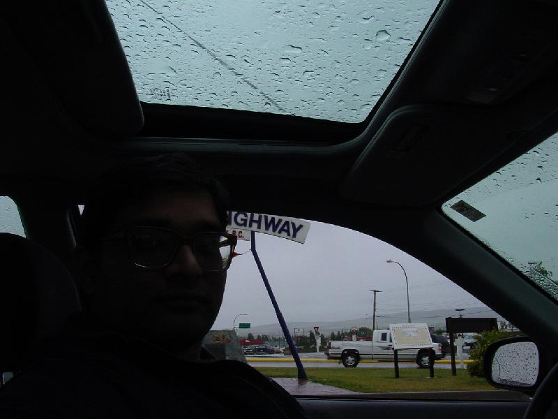
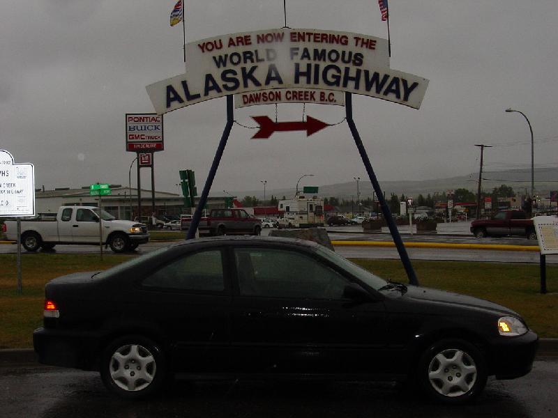
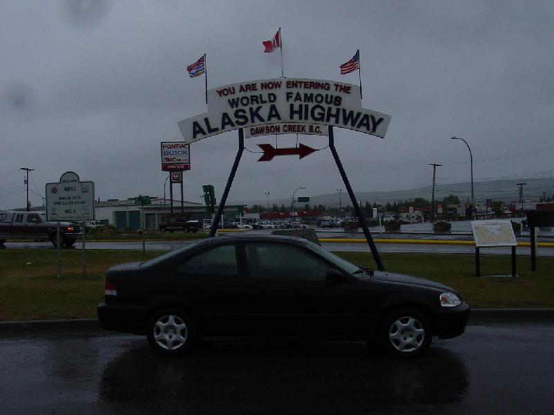
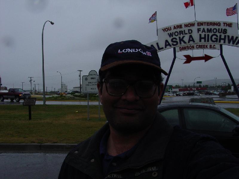
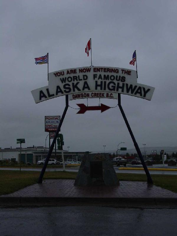
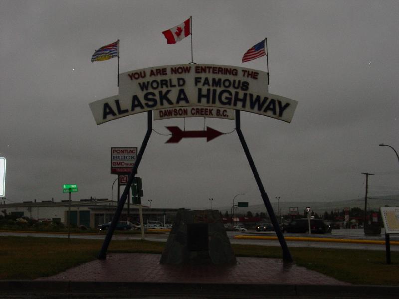
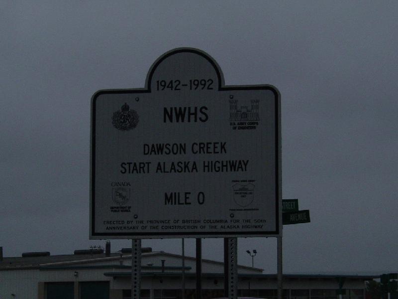
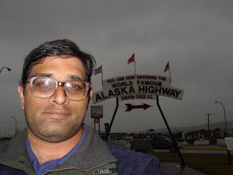
The first nine pictures are all taken in the town of Dawson Creek, BC -- "Mile 0" of the Alaska Highway. I can't even begin to describe my empotions when I
reached this place!!! Here are the pictures:
| |
|
|
| |
|
|
| |
|
|
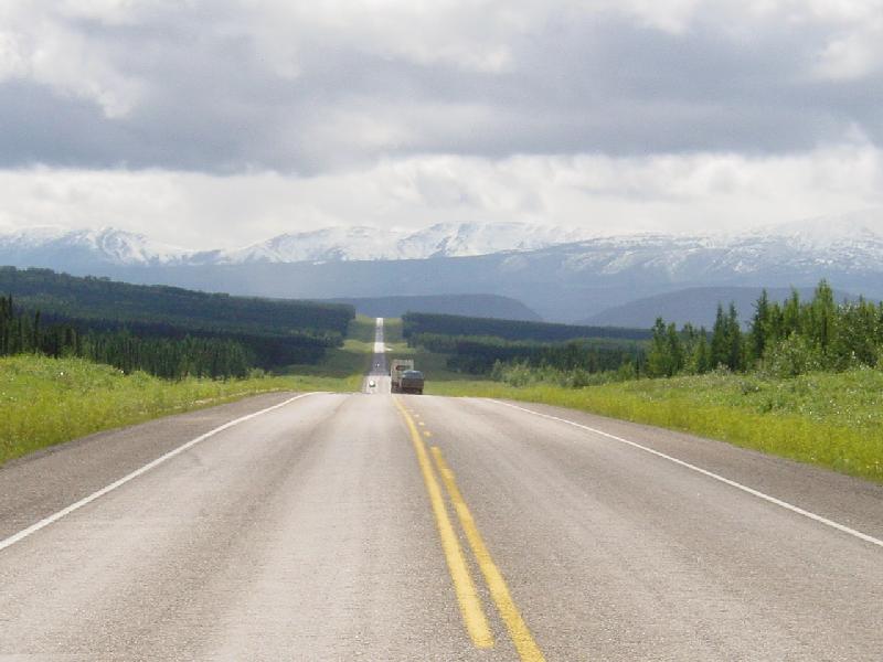
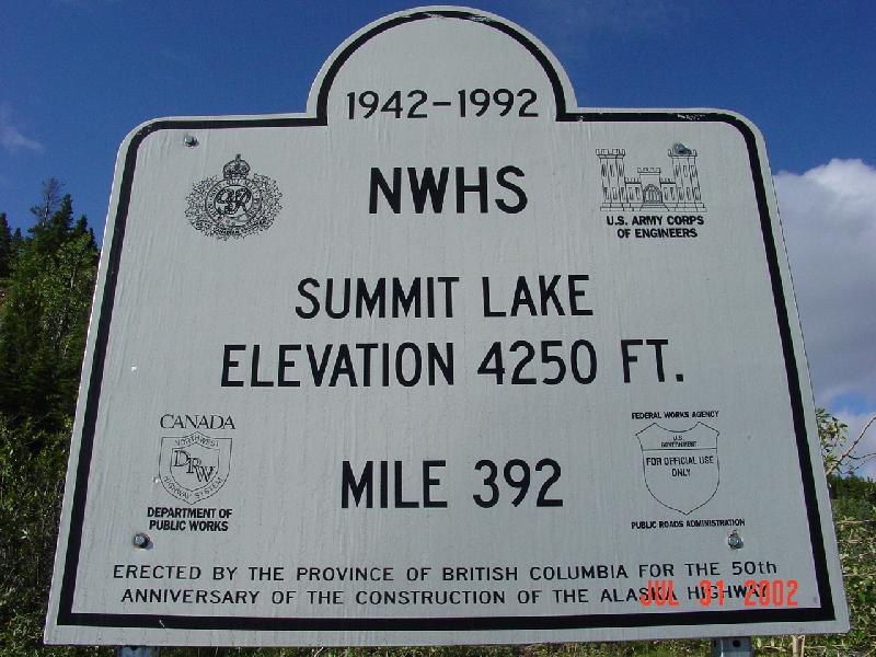
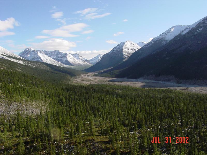
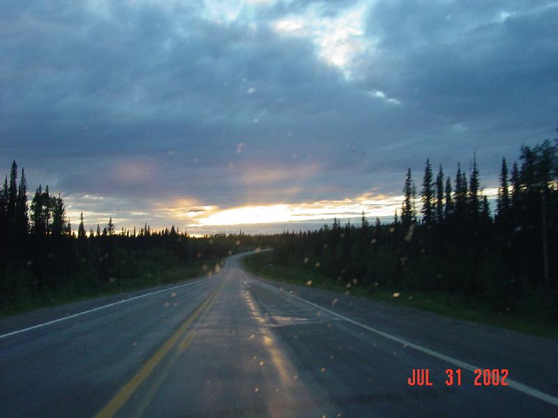
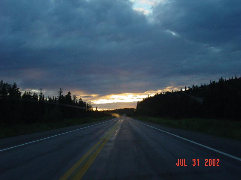
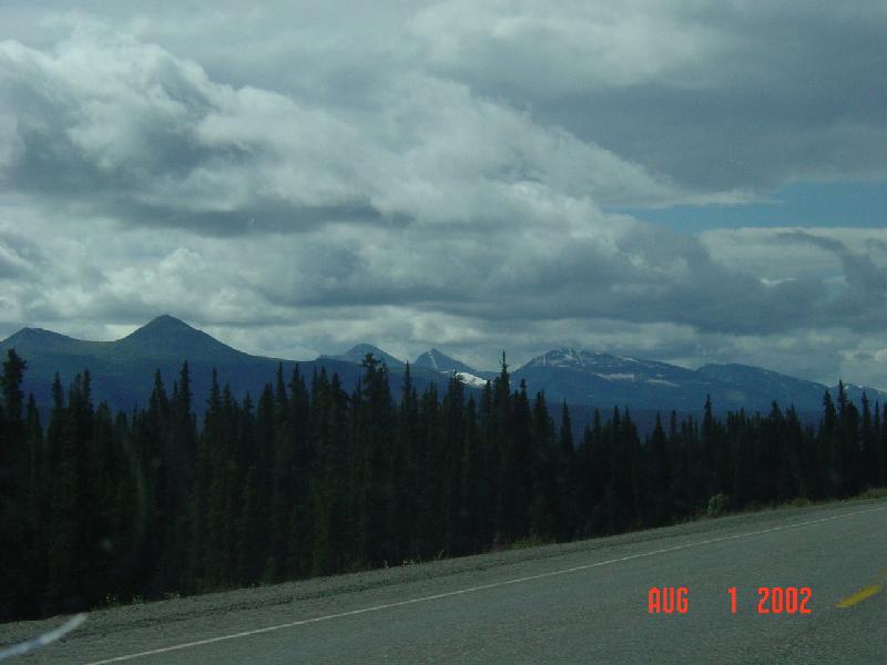
The Alaska Highway was built in 1942 as a land route to Alaska, to defend the U.S. against invading Japanese armies during World War II. It stretches across
the wilds of Northern Canada, and it was quite an architectural achievement simply to construct such a highway! The extreme winters mean that the highway is
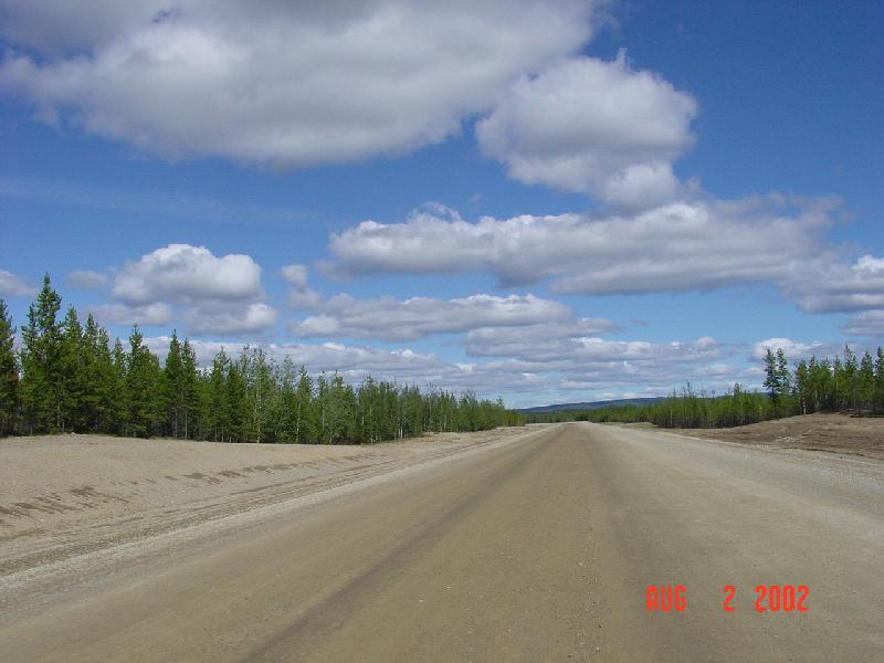
constantly under construction during the summer -- this road is definitely meant for 4-wheel drive vehicles! There are several patches of gravel/dirt road,
with many areas not having a center yellow line. Along the 1,523 miles from Dawson Creek, BC to Fairbanks, AK, there are only four "relatively large towns"
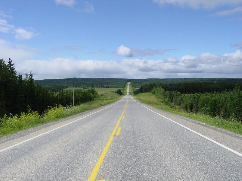
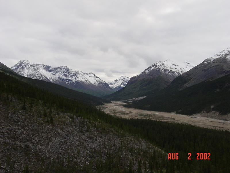
-- Fort St John and Fort Nelson in BC and White Horse and Watson Lake in the Yukon. Much of the rest of the road is beautiful montain scenery and wilderness!
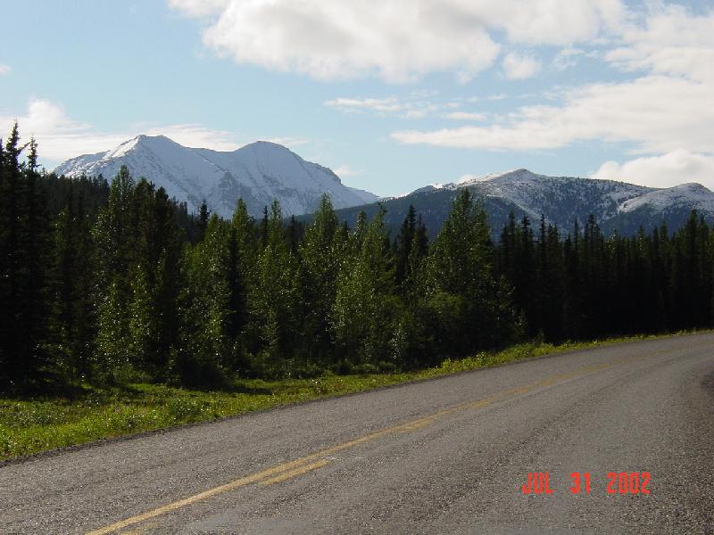
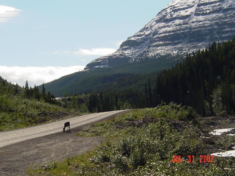
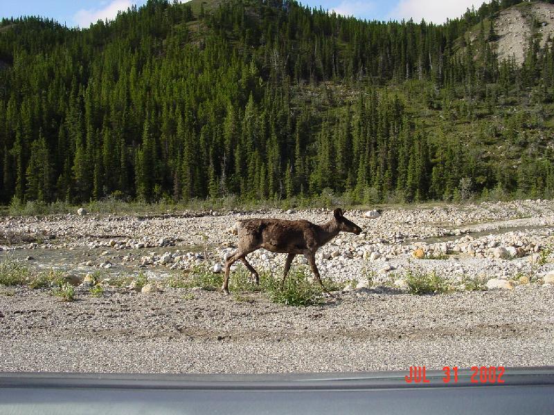
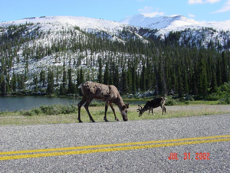
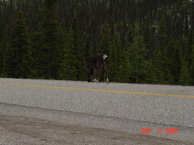
The scenery of the Canadian Rockies and the Mackenzie mountains along the road is superb! There are also several wild animals in the area -- most of the road
goes through forests. Along the highway I saw several mountain goats, deer, caribou, elk.... and countless small animals running across the road! (ask me for
a list if you want - I've recorded it all in my journal!)
So here it is ... the Alaska Highway!
 |
 |
 |
 |
 |
 |
 |
 |
 |
 |
 |
 |
 |
 |
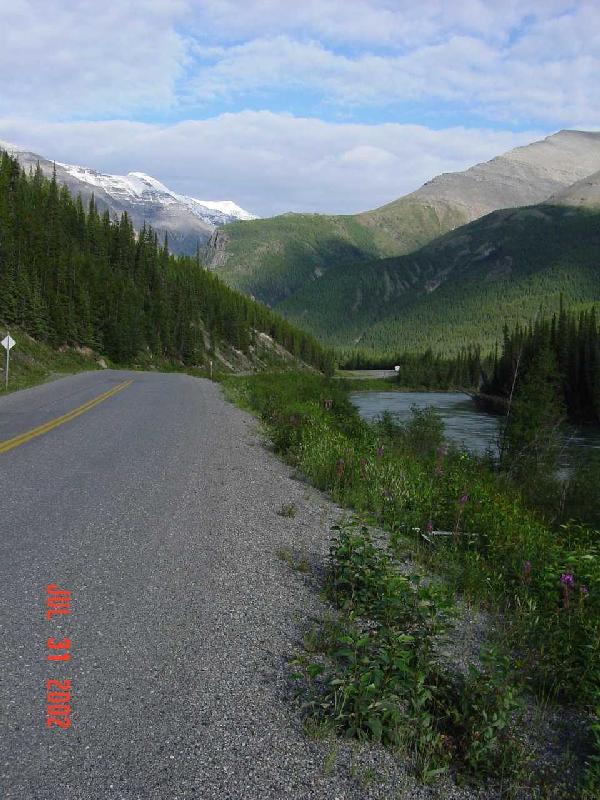 |
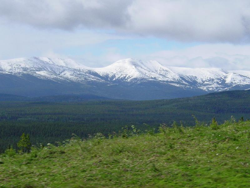
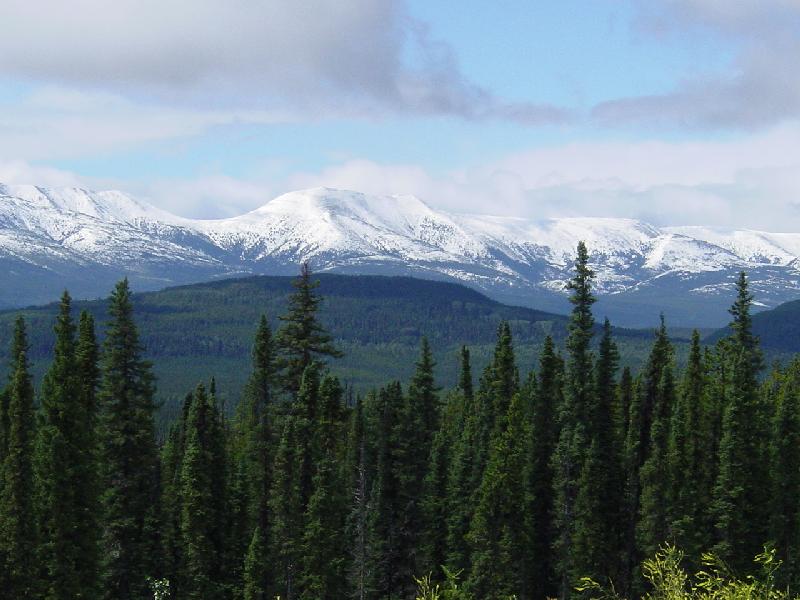
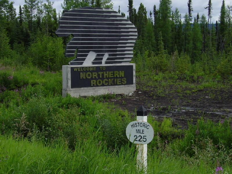
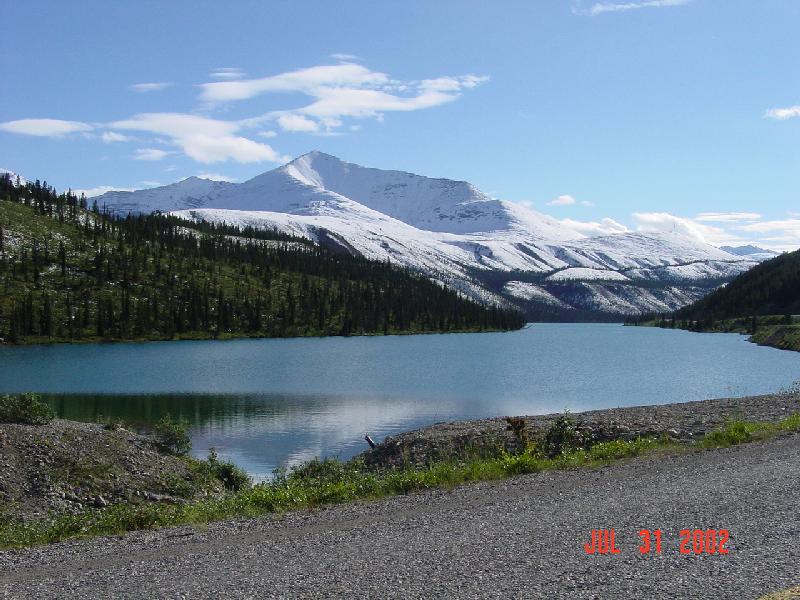
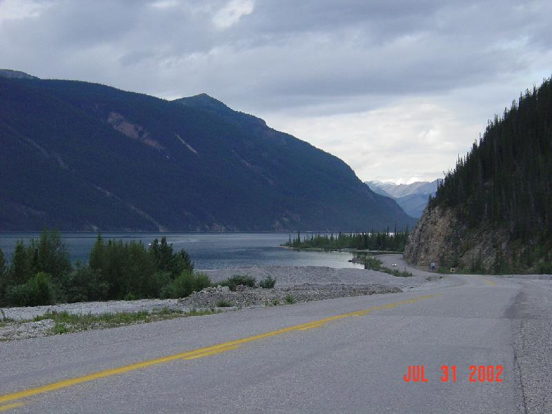
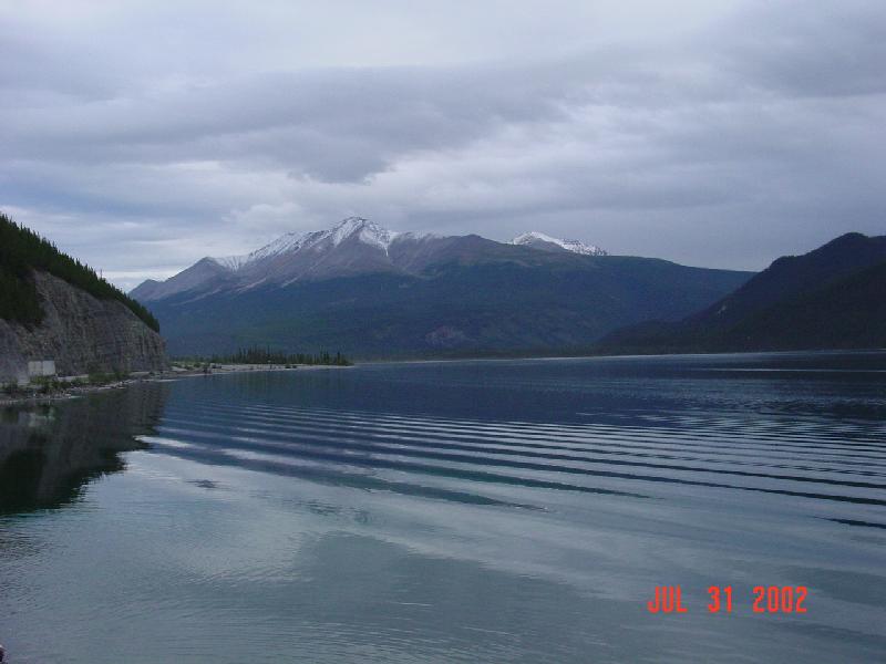
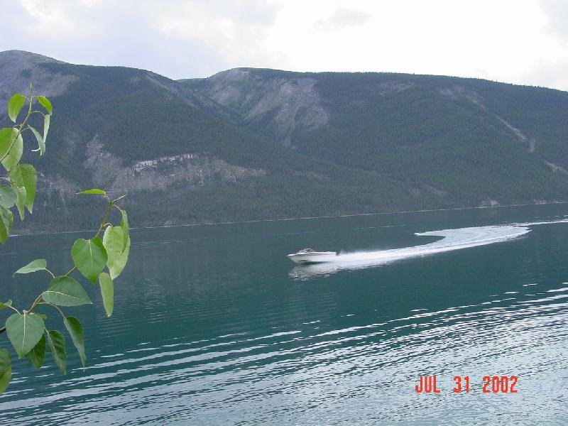
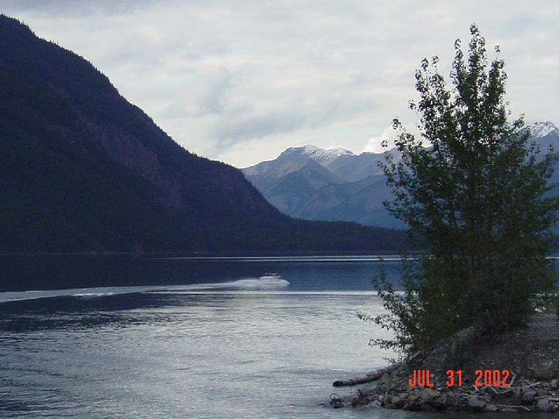
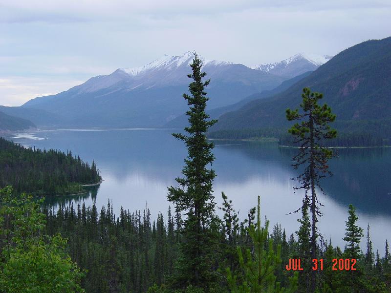
The next 5 pictures were taken at Muncho Lake Provincial Park in BC. This is where the Rocky Mountain range ends and the MacKenzie range, which extends into
Alaska, begins. The road alongside the entire length of the lake here is also gorgeous! Just be careful of that mountain goat which may be around the next
corner!
 |
 |
 |
 |
 |
 |
 |
 |
 |
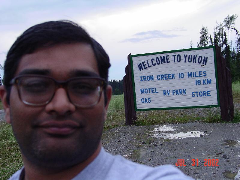
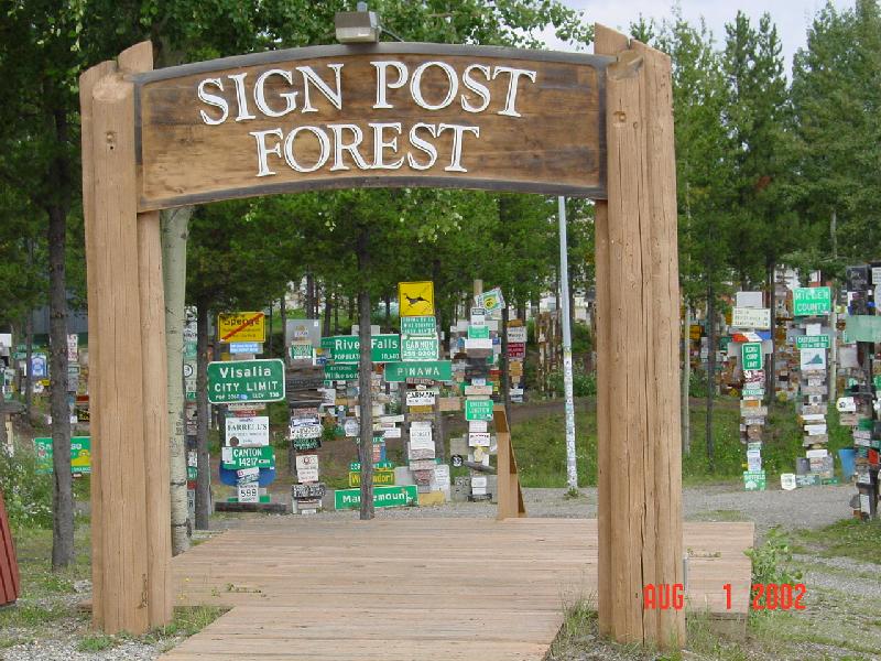
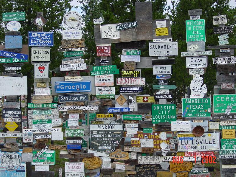
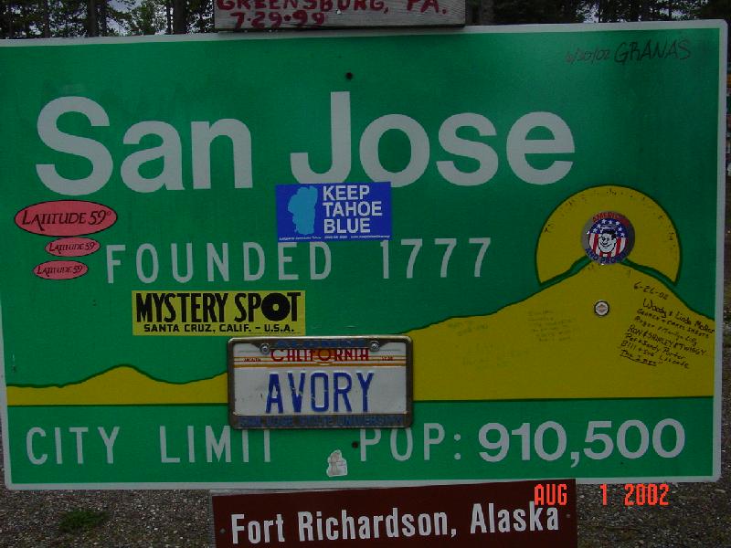
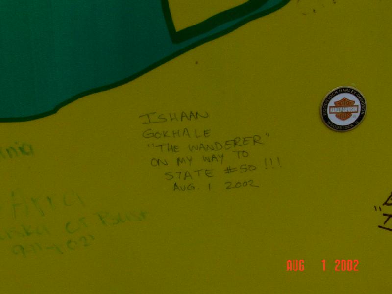
The Yukon border is at the 60th parallel, and the road criss-crosses between Yukon and British Columbia several times before finally entering the Yukon for
good. Just north of one of these crossings is the town of Watson Lake, YT -- home of the "Sign Post Forest". During the highway construction in 1942, one of
the army G.I.'s got homesick and put up a sign here of his hometown. Since then, everyone who comes here leaves a mark! I was no exception!
 |
 |
 |
 |
 |
 |
 |
 |
 |
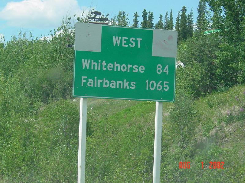
I had driven up to Whitehorse, the capital city of Yukon. From there, the closest Alaska border is 85 miles south -- this is the Chilkoot Pass of the 1898
gold rush fame -- and the town of Skagway, Alaska is 15 miles south of the border. Those 100 miles would have taken 2-3 hours one-way, plus any time at
Customs/Border Crossing.
When I reached Whitehorse I got a call from my old boss, asking me if I could come back to San Jose for an interview in his new company. I didn't want let an
opportunity like that slip away, so I drove back to San Jose -- without going to Alaska. Many people have asked me if I regretted that decision -- ABSOLUTELY
NOT! This trip was meant to be a trip to Alaska, but it became a Canada trip. And Canada is every bit as gorgeous! It was a fantastic trip, and Banff
surpassed all my expectations! And I've waited seven years to go to Alaska, what's another year? In any case, (thanks to a bad accident) I've learned a lot
about driving on the Alaska Highway, and next time, I'm renting an SUV!
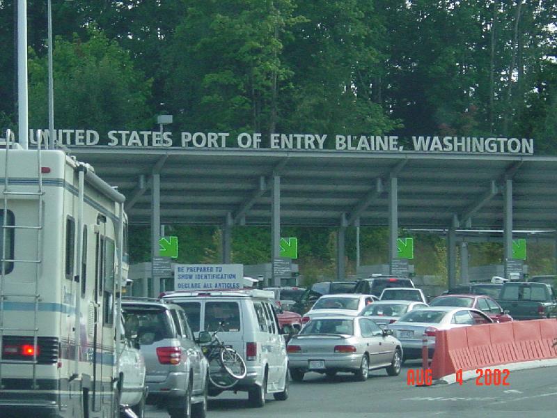
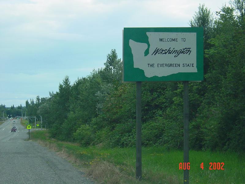
The final two pictures were taken on either side of the international border just south of Vancouver:
 |
 |
